
Students:
- Michael Davies
- William Haduch (PM)
Advisor: M. Horst
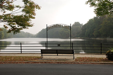
Brainerd Lake Dam, located in Cranbury, New Jersey, fails to pass dam regulations. The dam’s concrete overflow spillway was deemed inadequate by the New Jersey Department of Environmental Protection and excessive deterioration was noted on the face of the dam. An assessment of the dam in its current state was completed and the results were used to determine design alternatives to rehabilitate the dam so that it passes the NJDEP’s dam safety requirements.
In order to complete this project, several resources were used. The HEC-RAS and HEC-HMS computer programs were used along with several online resources such as StreamStats and the Web Soil Survey. Using topographic maps, the watershed area was found to be 11.6 square miles. From Web Soil Survey, soil types were found and a curve number was established to be 74 for the area.
Three methods were used to determine the lag times of the watershed including Snyder’s Method, SCS Segmental Approach, and the SCS Regression Equation. The rainfall for 50-year, 100-year, and PMP storm events were found and input into the HEC-HMS program. Using calibrated flow values, it was determined that the dam (E.L. 90.1 ft.) would be overtopped by the 50-year, 100-year, and PMP storms, which had peak elevations of 90.6, 90.7, and 93.7 ft., respectively. Finally, the HEC-RAS program was used to assess the damage to the buildings downstream of the dam. It was determined that approximately eight buildings would be severely damaged if a PMP were to occur. Due to the severity of the potential damage should the dam breach, it is classified as “high hazard” and therefore has a corresponding design storm of a Probable Maximum Precipitation (PMP).
Two design options were analyzed in response to a PMP storm. The first design option included re-design of the spillway and culvert. The goal of this design was to prevent overtopping by ensuring that the peak water elevation from a PMP would remain one foot below the crest of the dam (90.1’). HEC-HMS was used to find a spillway length that could successfully accommodate the peak flow. After several trials in the program, the minimum effective spillway length showed to be 900 feet. In order for the 382 foot-long dam to have 900 feet of spillway length, a labyrinth spillway design was chosen. The spillway was also kept at its original elevation of 87.2’. Next, using HEC-RAS, the culvert was re-designed to accommodate the flow. It was determined that using five culverts with a width of 16 feet would keep the dam from overtopping. The culverts are square, 8 feet tall, and spaced 4 feet apart. This design, with its final dimensions, was finalized on the ProEngineer computer program.
The next design option was the installation of overtopping protection. This design does not prevent the dam from overtopping, but simply serves to minimize damage and prevent a dam breach. For this design, the original spillway and culvert configuration were used. The upstream and downstream sides of the dam were given ten steps of roller-compacted concrete in accordance with the “Design Manual for RCC Spillways and Overtopping Protection.” Each step has a length of 1 foot, a height of 1.25 feet, and a thickness of 8 inches. Below the concrete is a 13 inch layer of gravel. The top of the dam must also be protected with 8 inches of concrete and 13 inches of gravel (omitting the roadway and sidewalks). Finally, the ProEngineer computer program was once again used to create a visualization of the dam design.